“Inca Trail Part 2”
So, after resting on the Dead Woman Pass, we were off to continue our adventure of the Inca Trail – Part 2. Another pass was ahead of us. After all the effort we had just gone through, I guess we were not looking forward to it.
2nd pass – Runkurakay at 3950 metres
In this Inca Trail Part 2 post, I will go a little into the numerous Inca ruins we encountered. In fact, the Runkurakay ruins were the next ones we reached. Just as Machu Picchu, they take the name of the mountain they were built on.
The purpose of this building is not quite clear. It is assumed that it served as a rest stop for Incan travellers and messengers.
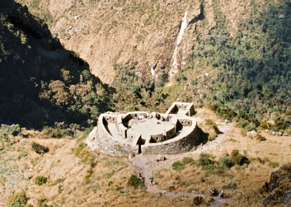
After lunch and a visit to the building we began the last ascent to be conquered during the Inca Trail. We had to get all the way back up to the 2nd pass of today – the Runkurakay pass at 3950 metres.
While the ascent was not as brutal as the one up to the Dead Woman Pass, the rather steep steps made it quit strenuous. But we all knew after this it could only become easier from here on.
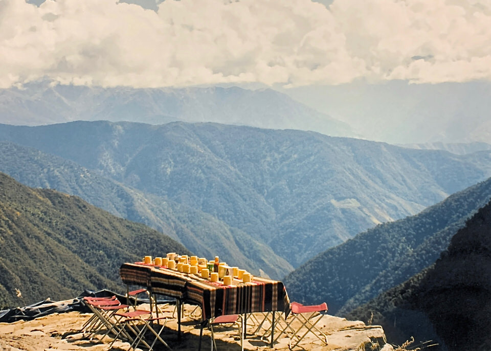
Picnic table near the Sayaqmarka ruins
After the pass, it was a long gradual descent into the start of the cloud forest. Just coming around a corner an amazing surprise awaited us. Have a look at the setting of this picnic table. Is it not amazing? We were really well taken care of by our local companions.
A little further down we could see the Sayaqmarka ruins. Translated, Sayaqmarka means “Inaccessible Town”. In fact, the ruins can only be accessed over a narrow stairway.

Time to move on this Inca Trail hike
Unfortunately, it soon became time to move on as we needed to reach our next camp site before dark. Honestly, I could have stayed here forever admiring the beauty of the surroundings.
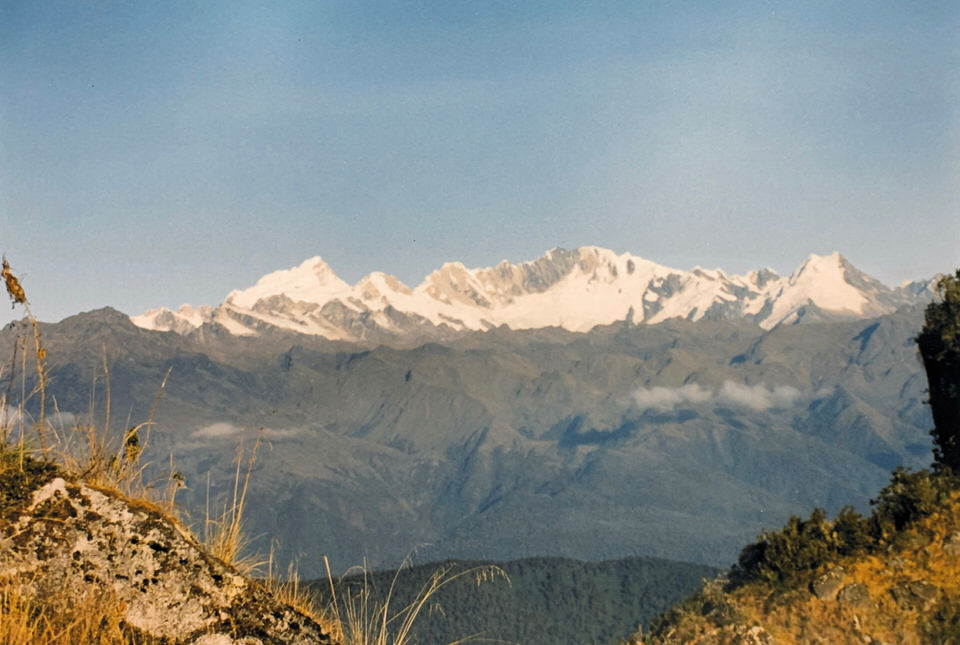
Snow covered peaks
On our way to the next camp site we were lucky enough to get an amazing view on to the snowcapped peaks of the Salkantay Mountains.
Inca Tunnel – Some consider it the 3rd pass of the Inca Trail
At one point we had to go through the Inca tunnel. I believe it is considered to be the 3rd pass to be crossed during the Inca Trail. The Inca had somehow managed to cut through solid rock. Sorry, no picture.
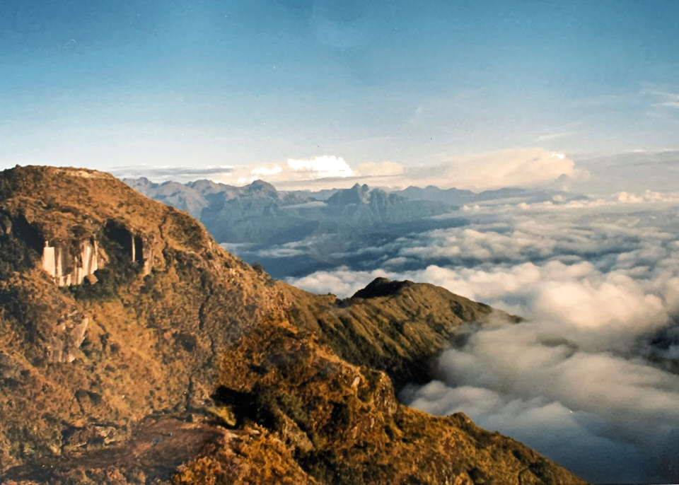
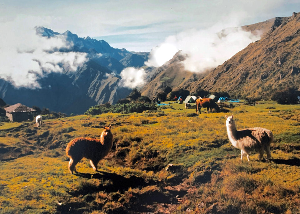
3rd Camp Phuyupatamarka at 3,579 metres
On the other side we soon got a glance at our campsite of tonight. I found the location quite dramatic.
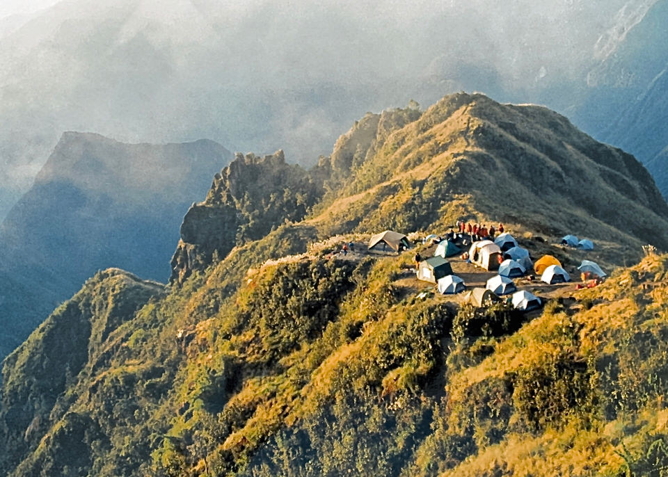
Phuyupatamarka stands for “The city above the clouds”. In fact, looking at the pictures there is a clear explanation for its name.
What we accomplished today on out Inca Trail hike
Today we walked for some 15 kilometres. It took us some eight hours. We ascended 1000 metres and descended 630 metres. Wow!
Unfortunately, this adventure is coming to an end as tomorrow is the last day of the Inca Trail. But the best part is waiting for us. And that is a first glance onto the lost city “Machu Picchu”.
I have to say, while yesterday was brutal, today was equally hard as it involved the longest hike of the Inca Trail.
Final day of the Inca Trail
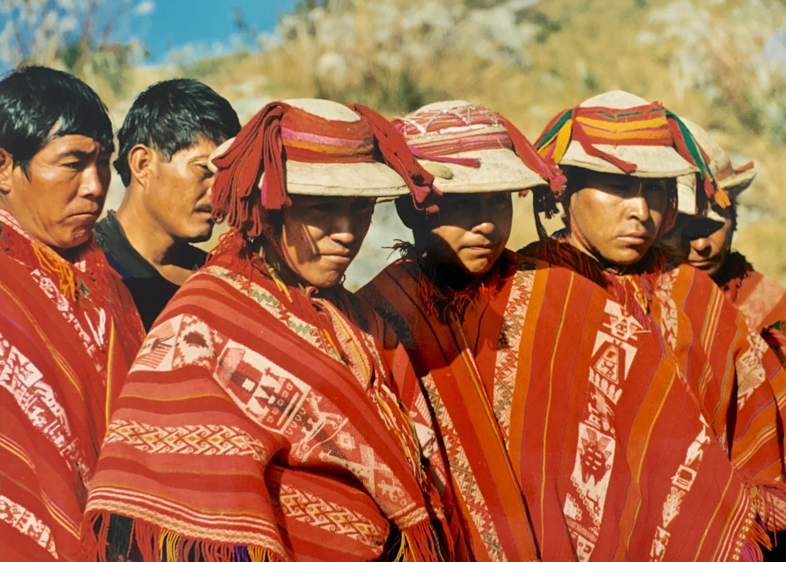
Today my adventure of the Inca Trail ends. This is were we said good bye to the amazing porters and thank them for their hard work and the excellent way they took care of us.
The porters look rather stern. Well, I have learned that the indigenous Andes people are very reserved and quite even when they consider you as friend.
All about steps
The walk from here on was on stone paths and stairways. The majority of which are original Inca architecture.
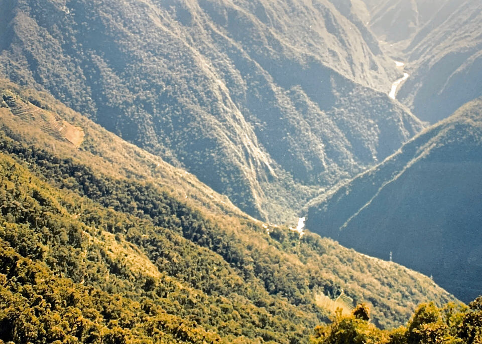
Eventually, the cloud forest ended and we got an amazing view (again) of our surroundings.
Getting to Winay Wayna
The 14 kilometres walk and 1000 metres descent to Machu Picchu took us through impressive Inca terraces, tropical forest, wild flowers, orchids and much more.
Another impressive ruin
We also passed another Inca ruin – Winay Wayna. It stand for “Forever young”. It is said that it is named after an orchid found in the area.
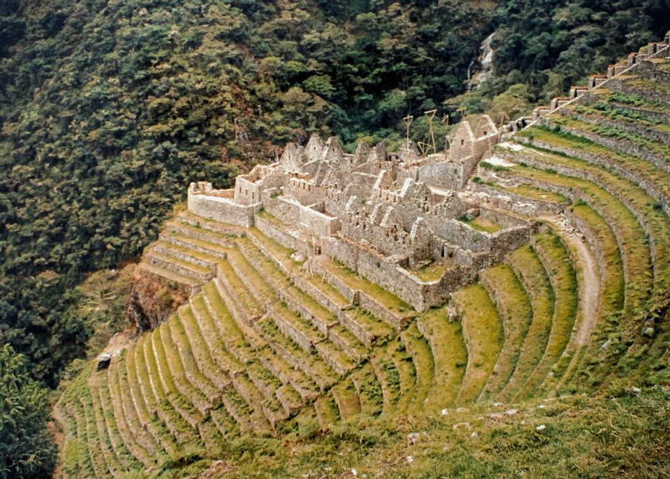
Intipunku – the Sun Gate at 2700 metres
And finally we were nearly there. The guide told us it was just this last flight of stairs and we are at the Sun Gate. He was not lying.
First glance onto Machu Picchu
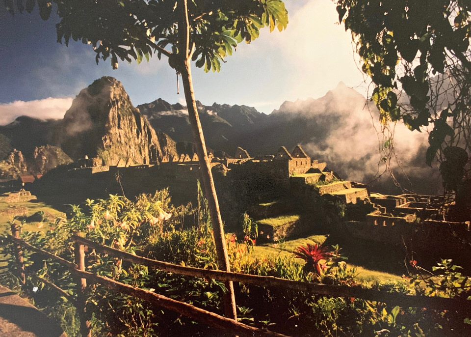
Well, what shall I say. While there were some absolutely amazing views on the way, the most emotional and exhilarating of the journey was to get this first glance onto the legendary Lost City. I have to admit, I had tears in my eyes. Might it be for the effort it took to do this pilgrimage or relief to have arrived? I don’t know.
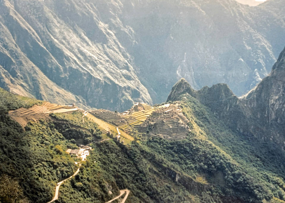
Last little descent of our Inca Trail hike
It took a little over half an hour to get down to Machu Picchu at 2400 metres. After a short glance around we boarded a bus to take us our accommodation. The actual visit of Machu Picchu was going to be tomorrow.
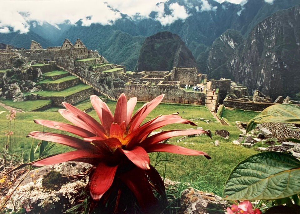
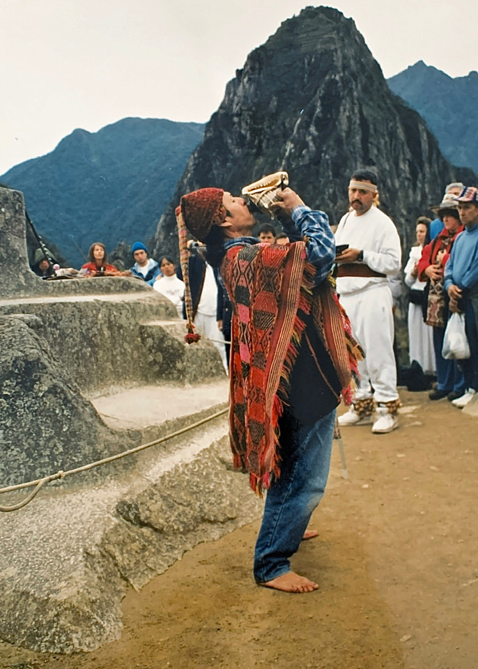
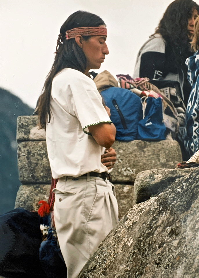
Winter solstice
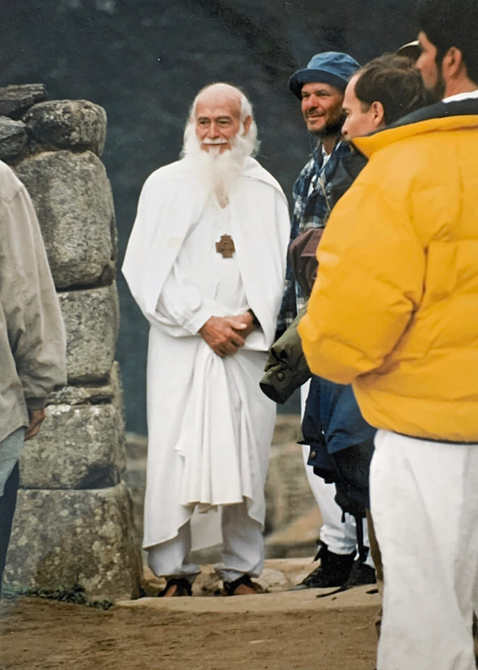
And tomorrow was a special day as it was the winter solstice. The Inca’s would sacrifice animals, such as llamas, on the stone altar in order to ensure good agricultural production for the coming months of planting and harvesting.
But this amazing event deserves more than just a couple of pictures. In fact, I am preparing to cover the Inti Raymi celebration in Cusco in another post.
Wayna Picchu
The following day, it appeared that I had not had enough of ascending and descending for the past four days. So, I decided to accept the offer to walk/climb up the Wayna Picchu. It was less difficult than I had imagined looking at it from down below. It was definitely worth the effort. I got a different view from the Machu Picchu.
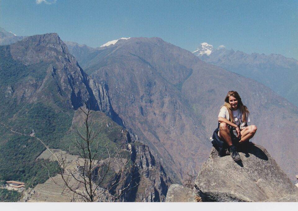
By the way, did you know that the original Inca name of the “Lost City” is not known. So it was simply named after the mountain it sits on i.e. the Machu Picchu mountain. This stands for “Old Mountain’. Wayna Picchu instead stands for “Young Mountain”.
Inca Trail Marathon
One very last word on the Inca Trail. Some very fit people actual participate in the Inca Trail Marathon. It is said to be the most difficult in the world mainly due to the altitude. Are you ready for it?
I am now off to Cusco to attend the famous Inti Raymi – the Festival of the Sun.
Check out the first part of recounting my experience doing the Inca Trail. I have also prepared a post on the reed islands on Lake Titicaca.

Leave A Comment
You must be logged in to post a comment.